
At least 132 people have been confirmed dead following a catastrophic 7.4 magnitude earthquake that struck western Colombia earlier today, triggering widespread destruction and a massive, urgent humanitarian response. The seismic event, which sent tremors through densely populated urban centers and remote mountainous villages alike, has overwhelmed local emergency services, prompting the National Unit for Disaster Risk Management (UNGRD) to declare a state of emergency across the affected regions. As heavy machinery and international rescue teams converge on the hardest-hit zones, the focus remains firmly on the critical ‘golden hour’ window for finding survivors trapped under collapsed infrastructure.
Key Highlights
- Confirmed Fatalities: The current death toll stands at 132, with officials warning this number is expected to climb as rescue crews reach isolated rural areas.
- Seismic Intensity: The 7.4 magnitude tremor was categorized by the Colombian Geological Service (SGC) as a shallow-focus earthquake, which typically causes higher intensity shaking and more localized damage.
- Operational Constraints: The rugged, Andean topography is severely hampering logistical efforts, with reports of blocked mountain roads and damaged critical infrastructure preventing aid convoys from reaching remote villages.
- Emergency Mobilization: UNGRD and the Colombian Red Cross have launched a coordinated search-and-rescue operation, prioritizing the restoration of power and water systems to hospitals currently treating hundreds of the injured.
The Humanitarian Crisis in Western Colombia
The immediate aftermath of the earthquake has transformed western Colombia into a scene of urgent, life-saving activity. The 7.4 magnitude event did not merely shake buildings; it fundamentally altered the structural integrity of the region’s infrastructure. In the initial hours following the quake, the Colombian Geological Service (SGC) reported a series of significant aftershocks, which have complicated rescue efforts and terrified residents already reeling from the primary impact. The epicenter, located in a region characterized by complex geological fault lines, caused the collapse of residential high-rises, historic civic centers, and essential transportation links, creating an logistical gridlock that authorities are struggling to overcome.
The Challenge of Andean Geography

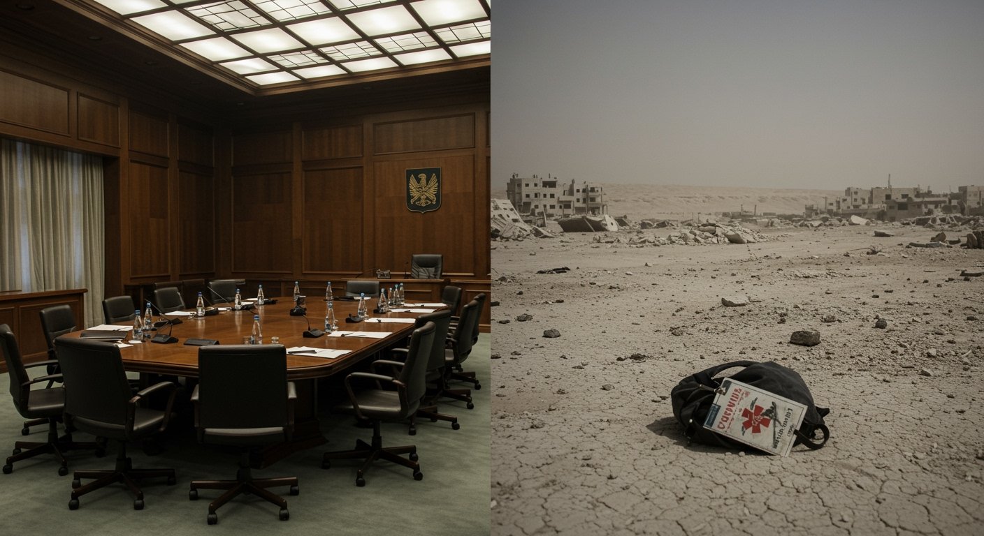
One of the most significant hurdles in the current rescue operation is the physical landscape itself. Western Colombia is defined by the steep, unstable terrain of the Andes Mountains. Unlike an earthquake in a flat coastal plain, seismic activity in this region often triggers secondary disasters: landslides, rockfalls, and mudslides that can bury entire roads. Reports coming from the UNGRD command center indicate that several key highways leading to the worst-affected provinces have been rendered impassable. This has forced rescue teams to rely on helicopters and specialized air-support units to ferry medical supplies, search dogs, and equipment to the front lines. The logistical challenge is compounded by the lack of cellular connectivity in these elevated zones, leading to a frustrating ‘information blackout’ for families awaiting news of missing relatives.
Structural Vulnerabilities and Building Codes
In the wake of this disaster, questions are being raised about the structural resilience of the region’s built environment. While Colombia has implemented stricter building codes in major cities following previous seismic events, many of the smaller, older towns in the western corridor feature aging masonry structures that are highly susceptible to shear stress. Civil engineers and municipal planners are now facing the grim task of surveying damaged buildings to determine which must be demolished immediately to prevent further loss of life. The widespread destruction of essential services—namely power lines and municipal water networks—has created a secondary public health risk. Officials from the Ministry of Health have already warned of the potential for waterborne illnesses if potable water supplies are not restored or established via temporary mobile plants within the next 48 to 72 hours.
The Tectonic Context: The Pacific Ring of Fire
The 7.4 magnitude event is a stark reminder of Colombia’s position on the edge of the Pacific Ring of Fire, one of the most seismically active zones on the planet. This area is defined by the subduction of the Nazca Plate beneath the South American Plate, a continuous geological process that generates massive amounts of crustal stress. While seismologists constantly monitor these fault lines, predicting the precise timing of a high-magnitude event remains scientifically impossible. The current catastrophe serves as a somber catalyst for renewed discussions regarding national earthquake preparedness drills, the investment in early warning detection networks, and the retrofitting of critical public infrastructure. The economic impact is projected to be immense, with initial damage assessments likely to reach into the hundreds of millions of dollars, once the immediate human tragedy is addressed.
FAQ: People Also Ask
1. Is the current death toll expected to rise significantly?
Yes. Officials from the UNGRD have stated that 132 is a preliminary figure. Rescue operations are still attempting to reach several remote, isolated communities in the Andean foothills, and the total count will likely increase as access is gained.
2. How can international agencies assist in the rescue?
Standard protocol involves the Colombian government coordinating with the UN Office for the Coordination of Humanitarian Affairs (OCHA). International search-and-rescue teams (USAR) are currently on standby, and financial support through reputable international aid organizations is often the most effective method for immediate relief.
3. Was this earthquake part of a larger fault system?
Yes. The tremor is linked to the complex tectonic interactions along the Pacific Ring of Fire, where the Nazca and South American plates meet. It is standard for earthquakes of this magnitude to be followed by a series of aftershocks, which the SGC continues to monitor.
4. What are the current priorities for the emergency teams?
The top three priorities are: first, the search and rescue of survivors trapped under debris; second, the establishment of stable, clean water and food supplies; and third, the restoration of road access to ensure medical transport can move freely between rural disaster zones and city hospitals.